 |
Map of the Pennines (the highlighted square is where we
spent the weekend).
For photos of the villages of Appleby and Kirby Stephen
see the previous post of photos. |
So out of those 247 plus we chose about 91 photos...looks like there will be at least another photo entry after this.
This entry will focus on the time we spent on the top of Mount Ida on Sunday afternoon, while we are still able to access the recall on it, and the walk down. A glorious day...it was a bit windy. Kerry says it's a nice place to go on hot days because the "breeze" keeps the small flies, which are common in the valley, at bay. If she means the ones we walked through on the way down then we can see why she likes to go up there.
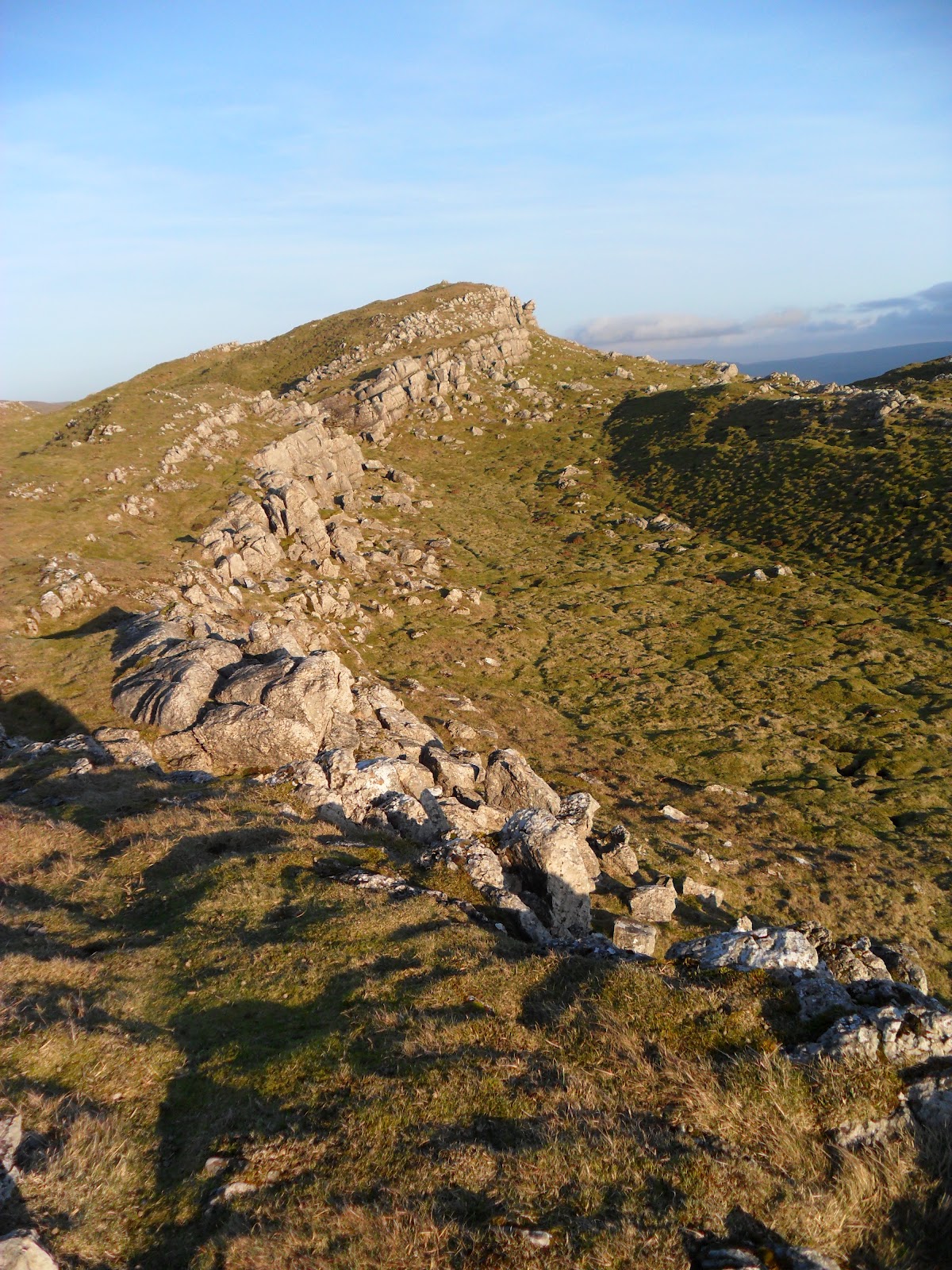
The top of Mount Ida is off limits to most people, but Kerry's husband works with farmers and so has free access to the area. We are lucky...sometimes. So, after a ride up the mountain in his Land Rover, passing through closed gates, we stopped at the final one and hiked up the side of the mossy exterior of Mount Ida. Even at the high elevation there were boggy wet spots with long grass in the crags of the terrain. We were struck by the amount of wild rabbits zig zagging everywhere. Apparently they are a problem, and part of the mountain that contains limestone has been fenced off to keep them from destroying the flowers and summer growth, we're guessing that protects the natural limestone through the summer. Kerry's husband walked alone the fence placing big rocks over the holes that the rabbits had started working on digging.
Mount Ida is a mountain summit which is part of the Pennines (North) that runs through the county of Cumbria, England. The Pennines has the nickname of "The Backbone of England" because it runs down the center of Northern England, like a backbone, separating the East and West sides of Northern England.
From it's highest point (around 1500-1600 ft) you can see Eden Valley, moss covered limestone and rocks, villages, castles, rabbits, dry stone walls, indicative of Cumbria, crisscrossing across the peaks and valleys of the landscape...immense beauty.
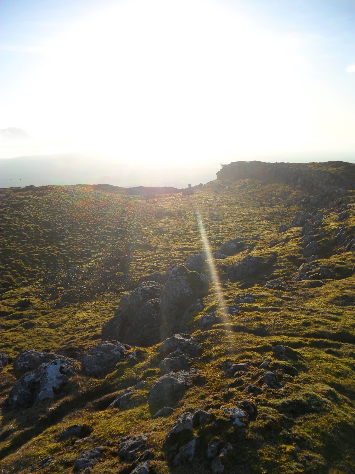
Photos of Eden Valley from the top of Mount Ida, and the walk back to the valley.


 |
| See that little red dot almost dead center? That's Kerry's son climbing the side of the peak. This photo was taken for depth perspective. |

 |
| Kerry giving us the layout of the land. Look at that cutie! We adore her. |


 |
| Government protected limestone field. |


 |
| Kerry's husband heading back down the hill, leaving Kerry, James, and us to walk, and talk, and take in the light of dusk across the valley |


For more info:
Cumbria Eden Valley: http://www.eden-in-cumbria.co.uk/edenvalley.html
The Pennine Way: http://www.thepennineway.co.uk/
No comments:
Post a Comment